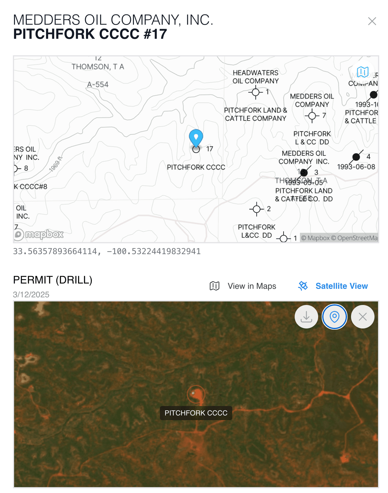
QuickScout.io

Oil & gas data provider

Full-featured, interactive chart & mapping software. Production, ownership & well data in a modern, intuitive interface.

Get updates

© 2025 InValu Investments, LLC. All rights reserved.

Changelog

Satellite Images

Get ready to see the bigger picture – literally! We're thrilled to announce that satellite imagery is now integrated into your Daily Feed!

Curious about activity near your wells? Now you can see it firsthand. These high-resolution images, captured within the last two weeks, let you visually monitor rigs, pads, and other oil and gas operations in your areas of interest.

No more guessing games. Get clear, recent visual insights directly in your feed.

Water Production

We now have water production data for select leases in Texas. This will enhance our understanding of overall fluid volumes and production characteristics, complementing our existing oil and gas data.

Charts

New chart customization features allow you to tailor production visualizations to your exact needs. Right-click any lease chart in Maps to adjust colors, styles, and display options - all of which are automatically saved for future sessions. Don't like your changes? A single click restores default settings.

Formations

Add subsea values for formations now in QuickScout Maps. Add the Formations layer then select a formation.

Image above is subsea values for the WOLFCAMP formation measured from the GR datum.

Filters

In the latest release, we've added support for a very powerful filtering system within QuickScout Maps.

Highlight tracts, production, and wells based on numerous parameters. This feature has been designed from the ground up to be performant and one-of-a-kind.

Export the results of your filter to CSV or PHDwin.

Filter criteria includes:

Wells

  • total depth
  • perforation interval
  • lateral length
  • status
  • ...other header information

Production

  • total production
  • daily production
  • reservoir
  • operator
  • county

Tracts

  • abstract

Add User Content to Maps

We've added support for uploading shapefiles and well lists to Maps.

New

  • Add a shapefile then follow well activity within that shapefile
  • Upload a list of wells to easily visualize on the map
  • Download well production in CSV or PHDwin